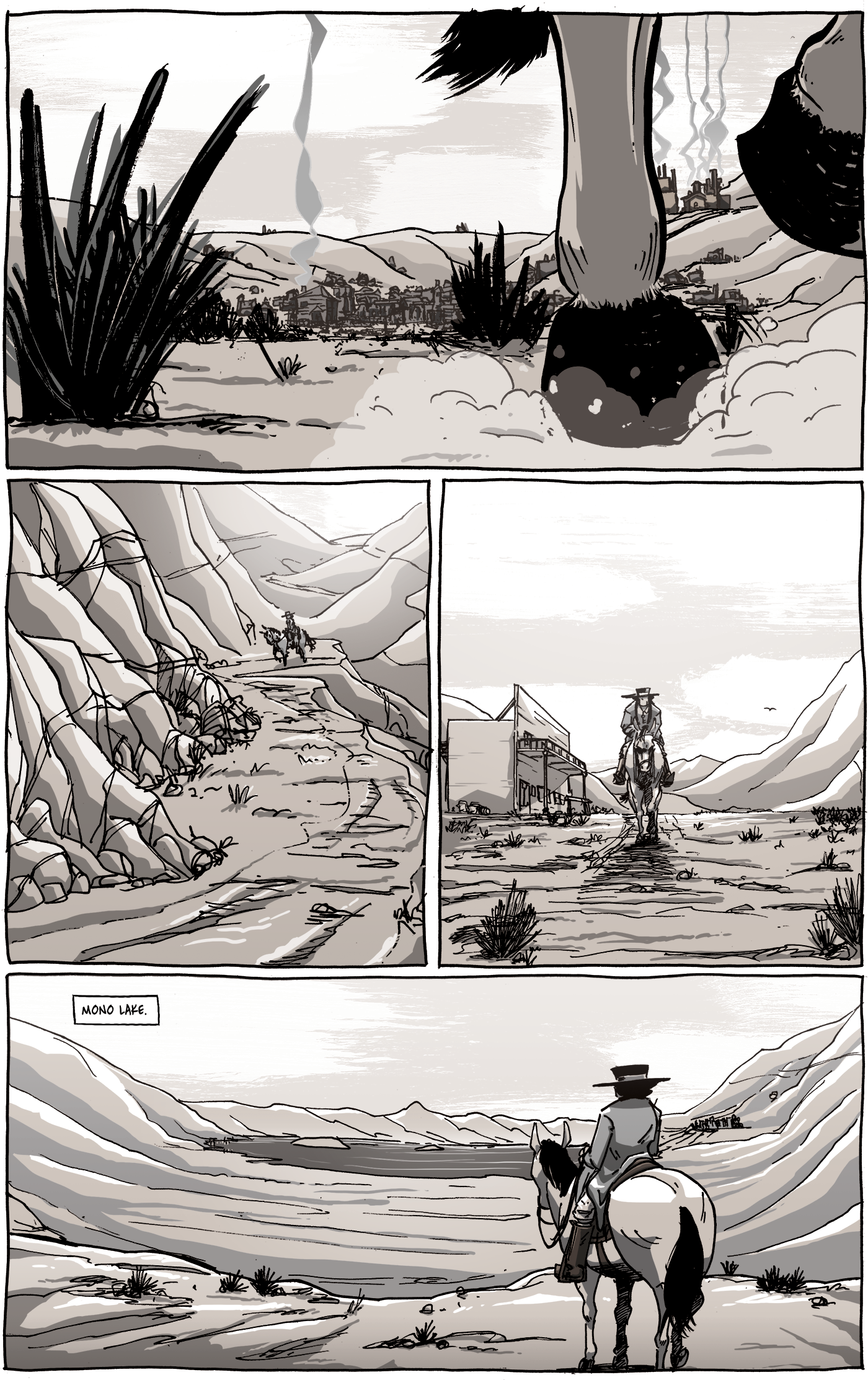
While I’m confident that there’s a strong sense of “place” in Long John, with each location having a unique quality and purpose to it, it’s hard to really show how they all fit together. There’s no real need to do that, ultimately; the reader assumes that these places are within riding distance from each other. However, due to the fact that the story does take place in a real region of California, that all of these settings (despite a strong level of artistic license has been taken) are actual places, for some reason the desire to show how they all stitch together strongly sits in the back of my mind. That’s why we see Bodie in the background of panel 1. When you come down the mountain from Bodie, the road puts you right at Dogtown (where chapter 4 takes place), which we see in panel 3. Riding south from Dogtown will take you to a cliff-side road that overlooks Mono Lake (panel 4).
One of the exclusives in the Volume 5 book (available now in the shop) is something I probably should have done in the beginning: I drew a map.
I hadn’t done it because I had never drawn a map before. I had not drawn one before because I was not particularly interested in drawing them. That being said, it was an exercise in problem-solving using an artistic skillset that I didn’t have. However, once it came together, I easily saw the value in having it. It’s neat to see Long John’s journey throughout the book and see how the story’s flashpoints are spaced throughout the region. Again, the map is available in Long John, Volume 5, now available for purchase in the shop or as an ebook on Gumroad.

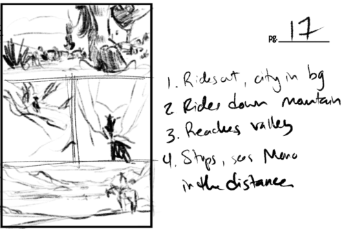
The thumbnail for this page was very loose (especially when compared to the previous page), mostly because you can be a bit more improvisational with landscape drawing and some of the panels would be pulling from reference. (click for larger version.)


Discussion ¬